The exact page text, read by your browser's voice.
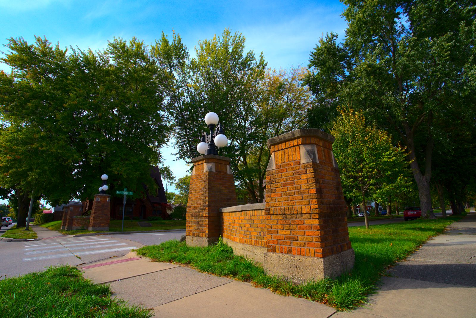

Kensington Boulevard, 44.4 acres between East State Boulevard, Niagara Drive on the Maumee River, the North Anthony district, and Pemberton Drive, began as Kensington Park, platted in 1917 by Charles A. Wilding's Tri-State Loan and Trust Company as a joint effort of realtors and developers including Wallace E. Doud and Louis F. Curdes, with plat restrictions that set minimum house prices. Doud consciously emulated nearby Forest Park. More than 170 homes were built between 1917 and 1955 along the tree-planted esplanades, plus one Italianate house of about 1870 that predates the boulevard. One summary of the nomination describes a second plat phase in 1921; published mirrors disagree on whether the 1917 phase was the north or the south half, a conflict carried in the note at the end of this section. The boulevard continues five blocks north of East State Boulevard to Lawndale Drive, outside the district. The Kensington Boulevard Historic District was added to the National Register of Historic Places on September 3, 2019. No source found explains the name Kensington. Its buildings are treated in the Architecture section.
Sources: National Register nomination, Kensington Boulevard Historic District (Ref. 100004368), via Indiana SHAARD; National Register nomination, North Anthony Boulevard Historic District, §8; National Park Service record.