The exact page text, read by your browser's voice.

Neighborhoods
Fort Wayne counts its neighborhoods in the hundreds. In a City post of May 8, 2024, launching the Data Fort Wayne website, the figure given was 458 neighborhoods; the Department of Neighborhoods now describes the city as having "more than 450 unique neighborhoods," the City's Engage Fort Wayne site says "over 400," and in March 2026 the head of the Department of Neighborhoods, Dan Baisden, put the active associations at about 260 to 270 of the 450-plus. Neighborhoods and associations are not the same thing — a neighborhood is a place; an association is an organization that may or may not exist for it — and the City's registered-neighborhood lists are contact directories, not histories.
This section is the documented core, not all 458. It covers every Fort Wayne neighborhood for which a real history could be built from the records that exist: National Register nominations and the Indiana state survey files, which are researched mini-histories of the districts they name; neighborhood association histories; the Allen County Genealogical Society's place files and the History Center's material; and dated journalism for the modern layer. Where a neighborhood is known as a place but its plat, developer, or name has no documented source, the entry says so in plain words and prints only what the record supports. The neighborhoods that could not be documented to that standard are named, with what was and was not found, in the notes filed with this section. The districts' buildings as architecture are treated in the Architecture section and are cross-referenced here in one line each; communities defined by their people rather than their plats are treated in the Communities section.
The Landing
The Landing is the hundred block of West Columbia Street, and it is where Fort Wayne began as a commercial place. Columbia Street began as a trail leading west from the military garrison, and it took its name from Dana Columbia…
West Central
West Central is the old residential quarter west of downtown, and it has no single plat or developer: it grew lot by lot from the canal era. The original town plat beneath it was recorded May 20, 1824, and through the 1830s the…
Bloomingdale
Bloomingdale, north of the St. Marys River along the Wells Street corridor, is one of Fort Wayne's oldest named neighborhoods. The association's history says it took its name from the broad fields of flowers planted by Jacob…
Nebraska
Nebraska, just west of downtown across the St. Marys River, grew as an industrial neighborhood. Its anchor was the hosiery factory begun by Theodore F. Thieme as Thieme Brothers Knitting Mills about 1875 and incorporated as Wayne…
Spy Run
Spy Run is the section in the northeast of the old city, east and north of the St. Marys and west of the St. Joseph, and its name is among the oldest documented in Fort Wayne. The Fort Wayne Sentinel's August 10, 1912 naming…
Five Points
Five Points is the northwest junction where Goshen Avenue, Sherman Boulevard, and Lillian Avenue meet — for a century a gateway into Fort Wayne on the historic Lincoln Highway, which followed Goshen Avenue until 1928. (It is not…
Historic South Wayne and the South Calhoun Corridor
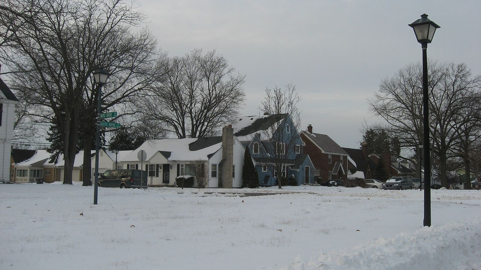
South Wayne began as a separate community south of the city, in the square half-mile bounded roughly by Creighton Avenue on the north, Rudisill Boulevard on the south, Hoagland Avenue on the east, and the St. Marys River on the…
Williams-Woodland Park
Williams-Woodland Park began as one man's ground. Jesse Lynch Williams, chief engineer of the Wabash and Erie Canal, moved to Fort Wayne in 1832 and assembled the tract south of Creighton Avenue; in the 1870s the Williams family…
Shawnee Place
Shawnee Place, in the Fairfield neighborhood south of downtown, was platted and developed about 1911 by Wildwood Builders — the firm of attorney Lee J. Ninde, his wife Joel Roberts Ninde, and designer Grace Crosby. It was the…
Beechwood
Beechwood overlays a plat first recorded in 1894 and replatted in 1914, when broadly curved streets were added. Its spine is Fairfield Avenue, once called "mansion row" for the large houses that lined it. The district takes in…
Oakdale
Oakdale grew inside the former town of South Wayne, south of Rudisill Boulevard. Much of the ground was first platted as additions to the Town of South Wayne in the 1890s, but little of it was developed by 1910; beginning about…
Illsley Place and West Rudisill
Illsley Place began as a farmstead. The Webb family farm became the Illsley estate — the homestead of Francis Illsley Brown and Anna Bond Brown — and in 1923 developer W. E. Doud subdivided it into a gated residential enclave a…
Harrison Hill
Harrison Hill was platted in 1915 by Hilgeman & Schaaf, the firm that also built Southwood Park, on the City Beautiful principles of planner Charles Mulford Robinson: a grand residential boulevard entered from Calhoun Street and…
Southwood Park
Southwood Park is the largest of Fort Wayne's planned early suburbs: 320 acres roughly bounded by West Pettit Avenue, Stratford Road, West Sherwood Terrace, Hartman Road, Lexington Avenue, Indiana Avenue, West Rudisill Boulevard…
Lafayette Place
Lafayette Place, 86 acres between South Calhoun and Lafayette Streets, McKinnie Avenue, and Pettit Avenue, was designed by landscape architect Arthur A. Shurcliff for Wildwood Builders and developed from about 1915 into the 1960s. Its formal esplanade, drawn from French urban design, ran through a neighborhood built for the streetcar age, with convenient access to roads, streetcars, and an electric interurban line. The district holds 582 contributing buildings. The Lafayette Place Historic District was listed on the National Register of Historic Places on January 9, 2013. The Lafayette Place Improvement Association keeps a history page, and the Journal Gazette marked the neighborhood's centennial on July 23, 2015. The district's buildings are treated in the Architecture section.
Sources: National Register nomination, Lafayette Place Historic District (NRIS 12001147); Lafayette Place Improvement Association; Rosa Salter Rodriguez, "Neighborhood marks 100 years," Journal Gazette, July 23, 2015.
Foster Park Neighborhood
The Foster Park Neighborhood, about 150 acres platted in 1924, was one of the last subdivision efforts of Hilgeman & Schaaf, and it carried the firm's City Beautiful program to the edge of Foster Park: curving parkways along West…
Wildwood Park
Wildwood Park, south of West Jefferson Boulevard between Freeman Street and Ardmore Avenue, was designed by landscape architect Arthur A. Shurcliff for Lee J. Ninde's Wildwood Builders. The plan was developed from the summer of…
Indian Village
Indian Village, along the St. Marys River in the Waynedale area, was marketed from 1925 as "Fort Wayne's Super-Subdivision." In 1925 the City and Suburban Building Company bought 180 acres that had been the Allen County Farm for…
Woodhurst
Woodhurst, south of Fairfield Avenue toward Paulding Road, began as dairy ground. A large dairy farm owned by Peter Certia covered most of the present neighborhood; in 1907 the cows were auctioned and Jacob Yaste bought the land.…
Fairfield Terrace and Belmont
Fairfield Terrace Belmont, south of Pettit Avenue, is two plats that became one neighborhood. The Belmont plat — a very large grid stretching from Pettit Avenue south to Paulding Road — was platted in 1909, with the McKinnieville…
The Packard Area
The Packard Area is not one neighborhood but the alliance of the historic south-central neighborhoods around Packard Park — and Packard Park itself is a factory site. The park, at Fairfield and Packard Avenues, was bought by the…
Pettit-Rudisill
Pettit-Rudisill, in southeast Fort Wayne between Pettit Avenue and Rudisill Boulevard, is documented as a modern neighborhood more fully than as a platted one: no nomination, association history, or plat account for the…
Lakeside
Lakeside, between the St. Joseph River, the Maumee River, Tennessee Avenue, and Crescent and California Avenues, was platted in 1890 as the Lakeside Park Addition by the Fort Wayne Land and Improvement Company, and the Lakeside…
Northside
Northside is not a subdivision but an umbrella: the Northside Neighborhood Association's ground northeast of downtown — 816 acres between the St. Joseph River on the north and west, the Maumee River on the south, and Addison…
Driving Park and Seven States
The Driving Park–Seven States Historic District, inside the Northside neighborhood, began as a fairground for horses. In November 1892 Frederick J. Hayden sold about 100 acres, land that had come out of Samuel Hanna's holdings…
Forest Park Boulevard and the Forest Park Addition
Forest Park began with an estate sale. In November 1905 the Fort Wayne Forest Park Company and the Tri-State Loan and Trust Company bought the 160-acre Taber estate, and the Forest Park Addition was platted the same year — a grid…
Brookview–Irvington Park
Brookview–Irvington Park, along the St. Marys River north of downtown, is three developments that grew together. Oak Knoll was platted in 1906 by Walter Seavey and Frederick Shoaff on the Warren H. Withers estate. Irvington Park…
North Anthony Boulevard
North Anthony Boulevard is a boulevard first and a neighborhood around it. The street was laid out under George Kessler's park and boulevard plan — Charles Mulford Robinson's 1909 plan came first; Kessler's was presented in 1911…
Kensington Boulevard
Kensington Boulevard, 44.4 acres between East State Boulevard, Niagara Drive on the Maumee River, the North Anthony district, and Pemberton Drive, began as Kensington Park, platted in 1917 by Charles A. Wilding's Tri-State Loan…
Northwood
Northwood, planned in 1913 within the ground the Northside Neighborhood Association now covers, was a middle-class streetcar-era development shaped by the City Beautiful planning that Charles Mulford Robinson proposed and George Kessler drew for Fort Wayne. The Northwood Historic District was listed on the National Register of Historic Places in the fall of 2026 — the City announced the listing on September 30, 2026 — making it the third residential National Register district inside Northside, after Lakeside and Driving Park–Seven States. The district's buildings are treated in the Architecture section.
Sources: City of Fort Wayne news release, "Northwood Historic District Now Listed in National Register," September 30, 2026.
Kirkwood Park
Kirkwood Park, two miles northeast of downtown inside the old Coliseum Boulevard beltway, is a mid-century neighborhood built around a park. The original plat was laid out in 1938 by surveyor H. K. Gottschalk for William L. and…
East State Village
East State Village is a commercial village, not a platted residential neighborhood, and it is documented as one. Randy Harter's July 8, 2017 Fort Wayne Reader history describes a roughly eight-block stretch of East State…
East Central
East Central, east of downtown across the Maumee, is one of the city's historically Black neighborhoods, and its institutions carry that history: the Jennings Center, Turner Chapel AME, the African/African-American Historical…
Village Woods
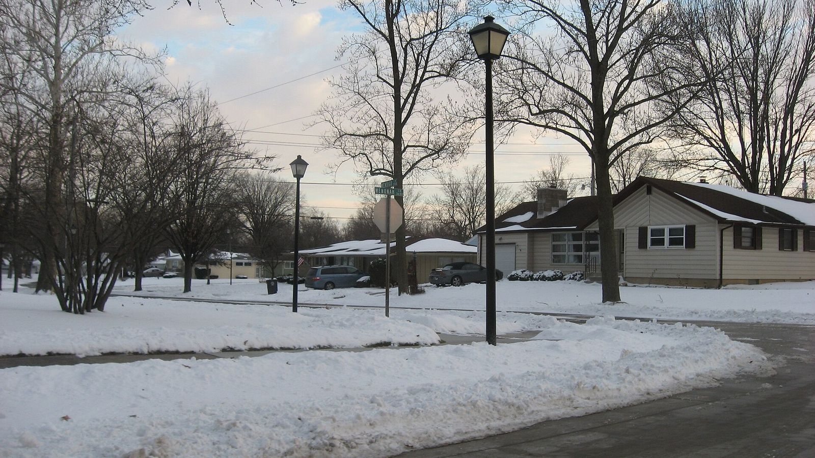
Village Woods, in southeast Fort Wayne around Hessen Cassel Road and Maple Grove Avenue, is documented only in part: no origin narrative, plat date, developer, or name origin for it was found in the National Register and state…
Waynedale
Waynedale was a town before it was a neighborhood, and it still behaves like one. In December 1920 Abner Elzey stood at Lower Huntington Road and what is now Old Trail Road and picked out the James Cunnison farmland as the site…
Aboite and the Southwest Suburban Ring
"Aboite" names three different things, and this entry keeps them apart: Aboite Township, a civil township; the historic unincorporated community of Aboite, which actually sits in Lafayette Township at Aboite Road and the old…
Blackhawk
Blackhawk, in northeast Fort Wayne, is documented only in part. No National Register nomination, state survey district, ARCH history, or association history for it was found, and its developer, plat date, and name origin are not…
Georgetown
Georgetown, in northeast Fort Wayne, is documented only in part: no residential plat history, developer, annexation date, or name origin for the neighborhood was found in reputable sources, and none is invented here. Its…
New Haven
New Haven is not a Fort Wayne neighborhood but a separate incorporated city adjoining Fort Wayne on the east, with its own founding and canal-era history; it is named here once, to keep the boundary straight, and it will receive its own page in this history.
Sources: City scope records, Allen County place files.