The exact page text, read by your browser's voice.
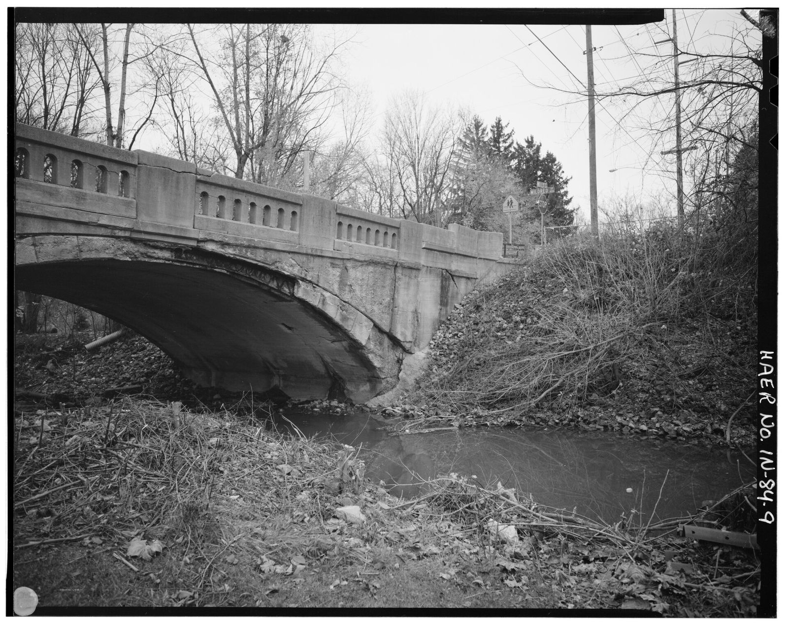
Spy Run is the section in the northeast of the old city, east and north of the St. Marys and west of the St. Joseph, and its name is among the oldest documented in Fort Wayne. The Fort Wayne Sentinel's August 10, 1912 naming feature, repeated in the Sentinel of August 14, 1915, gives the account: Captain William Wells, whom General Anthony Wayne made captain of his scouts — "captain of spies," as the post was called — made his home along a little stream in the Wells reserve, the stream took the name Spy Run, the road through it took the same name, and in time Spy Run designated the whole section. Like Bloomingdale and Nebraska, it never had legally established boundaries.
The neighborhood's modern record is a record of holding its ground. The Spy Run Neighborhood Association is documented in the City Council proceedings of December 22, 1987, when its president presented the third and final section of a downzoning meant to preserve the area's single-family character along Nussbaum Avenue, Elizabeth Street, and Ruth Street. Water is its defining problem: the City's Repetitive Loss Plan, adopted November 12, 1991, counted 19 repetitive-loss properties in the Spy Run Avenue area — about 41 percent of the city's total — flooded from all three rivers and from Spy Run Creek itself. No plat or developer for Spy Run proper was found; the Brookview–Irvington Park district to the north, which shares the creek's name, is a separate development with its own entry in this section.
Sources: Fort Wayne Sentinel, August 10, 1912, and August 14, 1915, via ACGSI Spy Run Creek and Irishtown pages; Fort Wayne City Council Proceedings, December 22, 1987 (Archive.org); City of Fort Wayne Repetitive Loss Plan, Ordinance R-91-11-16, November 12, 1991.