The exact page text, read by your browser's voice.

The Rivers · St. Joseph, St. Marys, Maumee
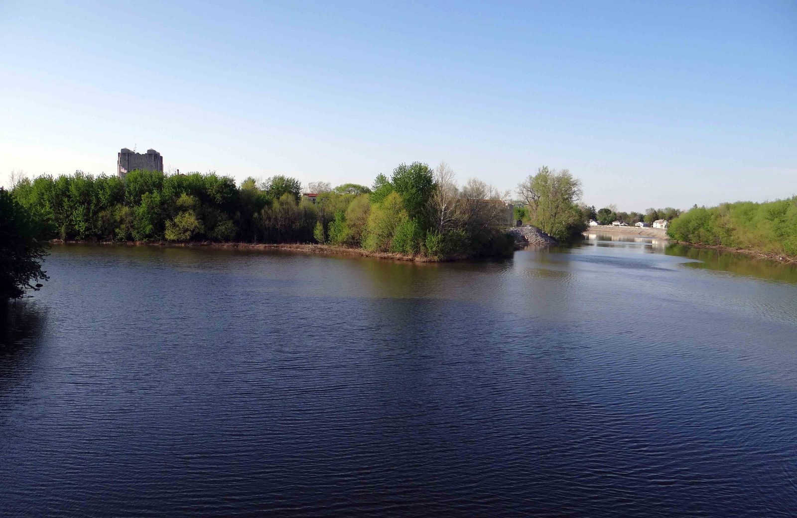
Every other section of this record treats the rivers as the stage. This one treats them as the subject. Fort Wayne exists because two rivers, arriving from different states and different soils, meet in the middle of the city and leave as a third — and because a few miles west, across a marshy divide only a few feet high, a fourth small stream starts the water on its way to the Gulf of Mexico instead. The three rivers have been, in turn, a highway, a larder, a millrace, a sewer, a drinking cup, a flood threat walled off behind levees, and, most recently, a front yard the city is learning to face again. What follows is their own record: their courses and names, the works men built on them, the floods they sent down as a single continuing story, and the long argument — still running — about what they are for.
The St. Joseph: the Bean River, out of Michigan
THE NORTHERN RIVER
The clearer of the two parents: The Miami called this river Kociihsasiipi — Bean River, for the wild beans along its banks. It forms in the lake country of southern Michigan: its East and West branches rise in Hillsdale County…
The St. Marys: the Sturgeon River, out of Ohio
THE SOUTHERN RIVER
The muddy one, and proud of its fish: The Miami called this river Nameewa siipiiwi — Sturgeon River (an older form, mameewa siipiiwi , glosses the same); the Shawnee name is recorded as Kokothikithiipi . The sturgeon in the name…
The Maumee: the river that is born here
FORT WAYNE TO LAKE ERIE · 137 MILES
A great river that starts at a street corner: The Maumee is one of the few important American rivers that begins inside a city. The Miami called it Taawaawa siipiiwi — River of the Odawa, the Ottawa people who lived toward its…
The meeting of the waters
ONE RIVER SYSTEM, READ AS A MACHINE
Where the two parents visibly differ: The Miami had a word for the place itself: saakiiweeki — the confluence, literally the coming-out place, of the Maumee. Kekionga stood there because the meeting of the waters was also a…
The stolen headwaters: how these rivers changed their minds
THE GEOLOGY UNDER EVERYTHING
They once flowed the other way: The strangest fact in this section is the oldest. The St. Joseph and the St. Marys have not always been Maumee water. Charles R. Dryer, writing the geology chapter of the 1889 Valley of the Upper…
The Little River and the Great Marsh
THE FOURTH WATER OF FORT WAYNE
The river that points the other way: A few miles southwest of the confluence, on the other side of the divide, the Little River — also called the Little Wabash — gathers in the low valley between Fort Wayne and Huntington and…
The Eel River: the western approach
ALLEN COUNTY TO THE WABASH · 94 MILES
The Snake Fish river: The fourth river of the Fort Wayne country never touches the city, but no army or trader approaching from the Wabash could avoid it. The Eel River rises southeast of Huntertown, in Allen County's own…
Mills on the rivers
1830 — 1900
First, the rivers were made to grind: The first industrial use of Fort Wayne's rivers was the oldest one: falling water. In 1830 Henry Rudisill built the town's first gristmill on the St. Joseph, at a point Griswold's township…
The canal's river engineering: feeder dam, feeder canal, aqueduct
1832 — 1883
Replumbing the St. Joseph to float boats over the divide: The Wabash and Erie Canal was the largest river work of Fort Wayne's first century, and its trade belongs to the Exports section; its plumbing belongs here. Fort Wayne was…
The working river: what floated, and what never did
CANOE, FLATBOAT, AND THE LIMITS OF THE WATER
A highway for canoes, a road for flatboats, no river for steamboats: For the Miami and the French the three rivers were simply the road: bark and dugout canoes moved furs, goods, and armies between Detroit, Kekionga, and the…
The fisheries: sturgeon, walleye, and the mussel beds
THE LIVING RIVER
The river was a larder before it was anything else: The Miami named a river for the sturgeon, and the naming was reportage: lake sturgeon and the great fish runs of the western Lake Erie basin made the Maumee system one of the…
Ice: the winter harvest that mostly happened elsewhere
THE HONEST ENTRY
What the record holds, and what it does not: The question is natural — a northern river town must have cut river ice — and the answer is what the record shows rather than what must have been. What it shows for Fort Wayne is this…
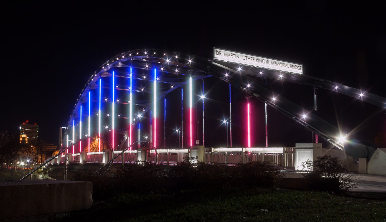
The bridges, as crossings
1812 — 1923
Three rivers meant the town was always building bridges: The earliest picture of a Fort Wayne bridge is a woodcut: the state historic bridge survey, quoting Lossing's Pictorial Field-Book of the War of 1812 , describes "the…
The floods, as one river record
1790 — TODAY
Read as water, not as disaster: The human record of Fort Wayne's floods — the evacuations, the sandbag lines, the mayors — is told in the Wars, Unrest & Disasters and Major Events sections. What belongs here is the rivers' own…
Drinking the St. Joseph: the water supply
1843 — TODAY
From the canal to the limestone plant at the confluence: For its first decades Fort Wayne drank from where it stood: the rivers themselves, the canal (a recorded supply from 1843 into the 1870s), ponds, creeks, cisterns, and…
The sewers, and the tunnel under everything
1858 — 2025
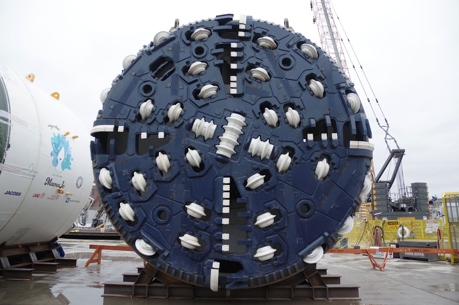
A century of using the rivers as the drain, then a machine to stop: Fort Wayne's first sewer line was completed in 1858, and for the next century and a half the arrangement it began was simple: the city's waste went to the…
Hosey Dam: the city's hand on the Maumee
1925 — TODAY
A hundred-year-old argument, in concrete: About a mile and a half below the confluence, at the Anthony Boulevard crossing, the Maumee meets the only dam ever built across it in Fort Wayne. The Hosey Dam — National Inventory of…
The turning: pollution, phosphorus, and Lake Erie's bill
1960s — TODAY
The river as the Great Lakes' largest load: By the middle of the twentieth century the Maumee had become what its watershed made it: the largest single conveyor of sediment — and of what rides on sediment — into the Great Lakes.…
The river as amenity: festivals, trails, and the facing of the water
1969 — TODAY
The last turn is back toward the banks: The city that had walled its rivers off behind dikes announced its change of heart, characteristically, with a party: the Three Rivers Festival, founded in 1969 and named outright for the…